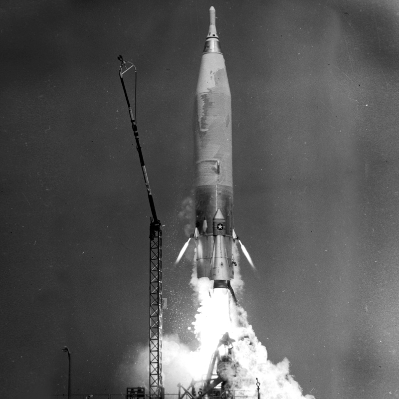
On October 29, 1959, the United States Air Force launched an Atlas D rocket from Cape Canaveral carrying an unusual payload: a camera designed to photograph Earth’s cloud cover from hundreds of miles above the surface.
The Atlas was developed as an intercontinental ballistic missile during the Cold War. But its test flights also provided opportunities to explore new technologies and learn more about operating equipment at extreme altitudes. On this October day, the rocket carried a camera inside its nose cone, allowing researchers to capture images of Earth from approximately 300 miles up.
The photographs offered a different perspective on the planet’s cloud formations and weather systems. Before weather satellites became a familiar part of daily life, scientists relied on observations from the ground, weather balloons, and aircraft to study atmospheric conditions. Images taken from high above Earth offered a much broader view of cloud patterns across large areas.
This was not the first time an American missile had carried a camera to photograph Earth. Earlier Atlas test flights in 1959 also produced high-altitude images. Together, these experiments helped demonstrate the potential of rocket-borne cameras and recoverable equipment for collecting information from above the atmosphere.
The October 29 launch was part of the broader effort to test the Atlas missile and its technology. Although the rocket was built for military purposes, its test flights also contributed to the growing body of knowledge about photographing Earth from high altitudes.
Today, satellite images help meteorologists track hurricanes, monitor cloud formations, and forecast changing weather. That capability grew from many technological advances, including early experiments that gave researchers a new view of our planet from above.
Share Article: